


- Introduction
- Design and Supervision of Earthworks
- Design of Working Platforms for Tracked Plant
- Dispute Resolution and Expert Witness
- Foundation Selection and Design
- Geotechnical Assessment of Retaining Structures
- Ground Investigation
- Investigation and Stabilisation of Old Mine Workings and Shafts/Adits
- Site Inspections of Foundation Excavations
- Slope Stability Assessment and Design
Geotechnical
Geological and Geomorphological Mapping
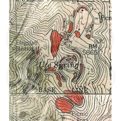
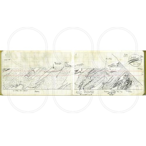
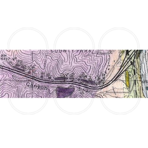
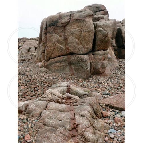
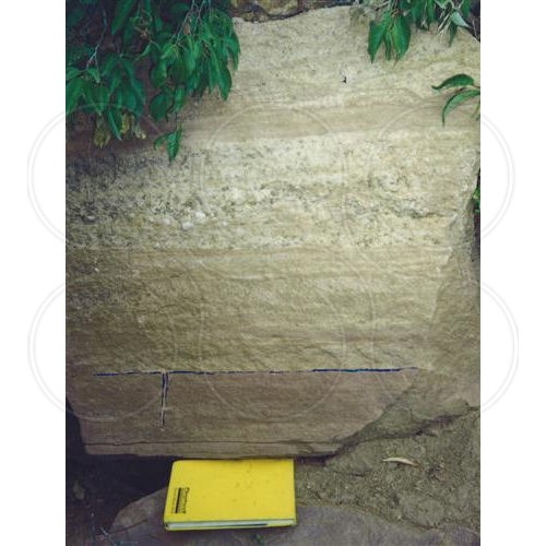
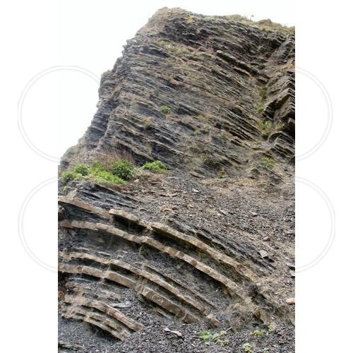
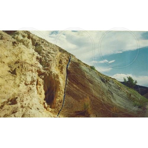
Coopers employ post graduate Chartered geologists and geologists working towards their Chartership who can undertake detailed field geological and geomorphological mapping of sites. This work may comprise detailed exposure mapping, production of geological maps where geology is exposed, production of geological maps based on intrusive investigation and geomorphological maps for large area sites and slopes.
Field knowledge for geological and geomorphological mapping is extensive for our geologists with significant UK experience, as well as experience in Europe and the United States.
Click on the images below to enlarge